
Sabah's Highly Diversified Shorelines:
With the longest shoreline in the country and facing 3 seas (South China, Sulu and Celebes), Sabah coastal regions are highly diversified in terms of physical, environmental, and socio-economic. The diversities position the state with vast and yet-to-be-tapped opportunities to achieve sustainable economic development benefiting its coastal communities and stakeholders.
In the west next to the border with Sarawak, Brunei Bay is well sheltered from offshore waves making it suitable for port and nearshore development requiring calm sea state. The calm environment promotes mudflat and mangrove formation along the nearshore. Mangroves are found abundant at the river mouth of Sg. Padas and westward to Menumbok.
From Menumbok to Tuaran or better known as the West Coast of Sabah, the shoreline gradually exposes to larger wave exposure resulting in sandy coastline, which evolves seasonally. Sg. Papar and Sg. Tuaran are among the largest rivers providing sediments to the nearshore forming and stabilizing the beaches. Historical sand mining at these rivers have resulted in coastal erosion near their river mouths. If left uncontrolled, the erosion may further risk the nearshore communities. Kota Kinabalu is the largest settlement in this region which is well sheltered by the cluster islands of Tunku Abdul Rahman Marine Park. The densely populated city presently faces erosion and flooding challenges which are likely to exacerbate in the coming years owing to worsening climate change effects and lack of sustainable planning.
From Tuaran to Simpang Mengayau in Kudat, the shoreline is relatively pristine and blessed with some of best beaches in the country. With the soon to be completed Pan Borneo Highway, vast track of coastal lands will be opened up for development in particular tourism and agriculture. It essential to sustainably plan and coordinate these developments to avoid stressing and deteriorating the existing environment and communities.
Within Marudu Bay, the shoreline characteristics once again change to mudflat and mangrove dominated owing to the sheltering from offshore waves by Pulau Banggi and Pulau Balambangan. Shoreline within the bay is largely undeveloped with small scale agricultural and fishery activities. Around Pitas, the shoreline possesses unique natural landscape suitable for eco-tourism exploration. The region however lacked efficient land and sea transport linking it to the nearby major settlements and townships.
From Pitas to Labuk Bay in Beluran-Sandakan, the shoreline is well sheltered from offshore waves by the surrounding islands creating a mudflat and mangrove dominated environment. The shoreline is relatively pristine with scattered villages and small to medium scale agricultural plots. Sg. Labuk and Sg. Sugut are among the largest rivers flowing into the sea.
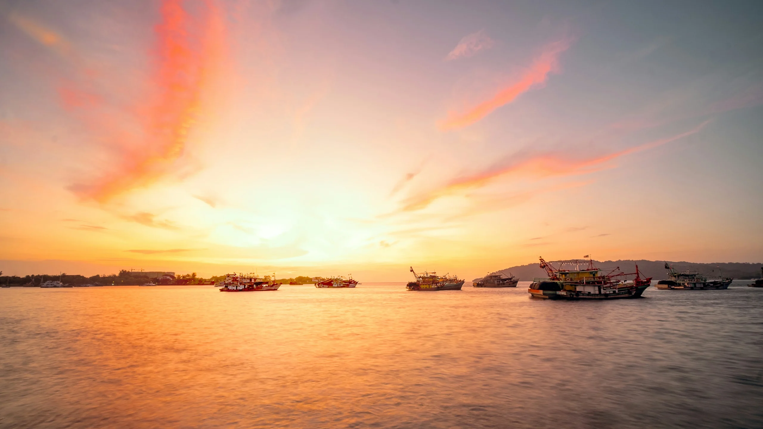
From Sandakan to Semporna to Tawau, the shoreline is dominated by mangroves and tidal flats while sheltered from offshore waves by the surrounding islands. In this region, agricultural and aquacultural activities dominate the shoreline – along with tourism activities.
Sabah’s Blue Economy as the Economy Development Game Changer:
Shoreline is more than just a short stretch of coastal land — it’s where dense settlement, industries, and cultures meet the power of nature. For regions blessed with rich marine resources and long coastlines such as Sabah, the development and conservation opportunities are vast, but so are the challenges. Changing weather patterns, rising seas, flooding, shifting sediment supplies, erosion, and human induced developments are rapidly altering shoreline putting settlements and infrastructures at risk.
As the state government and its industries look toward the “blue economy” — the sustainable use of coastal resources for empowering economic growth and socio well-being — one truth is becoming clearer: without an integrated plan to manage the shoreline, the blue economy cannot take off and thrive in a sustainable manner.
Key to the success of the blue economy vision is the Integrated Shoreline Management Planning (ISMP). ISMP is not merely a technical exercise and shelve-sitting documents. It is a planning framework to achieve sustainable coastal development by balancing development needs with environmental protection through a holistic approach. It involves evaluating the physical, environmental, and socio-economic aspects of a coastline and integrating extensive stakeholder consultations to develop strategies for minimizing risks like erosion and protecting natural resources. To date, 4 management plan exists catering for Sabah:
- Sabah Shoreline Management Plan (SMP)
- ISMP Papar – Tuaran
- ISMP Tuaran – Kudat
- ISMP Kudat – Tawau
The management plans need to be regularly updated, preferably every 5 to 10 years, to reflect the constant changing environment and features along the shorelines. The plan shall be referred by all coastal stakeholders to sustainable plan and coordinate developments. Ideally, the plan’s objectives and strategies should be incorporated into the state and local plans.
CoastAdv Expertise:
The founder of CoastAdv has contributed to all the management plan in Sabah as listed above. Geared with extensive coastal knowledge and experience throughout Sabah, we strive to advise nearly all stakeholders of Blue Economy in screening, reviewing, planning, and designing Blue Economy initiatives and coastal-marine and beach developments.