
As written in earlier article, Sabah coastal regions are highly diversified and rich in natural resources. It has the longest shoreline in the country, facing South China Sea in the west, Sulu Sea in the northeast, and Celebes Sea in the southeast. Such diversities and uniqueness offer bountiful economic development opportunities.
It is essential to highlight that the development of Blue Economy initiatives shall achieve a balance of economic, socio, and environment progresses. Within this article, an overview of Blue Economy developments in Sabah’s West Coast is given.
Brunei Bay:
Within Brunei Bay, the present major coastal economic development is Sipitang Oil and Gas Industrial Park or better known as SOGIP. For the time being, Petronas Chemical Fertiliser Sabah Sdn Bhd (PCFSSB) is the major industry facility in the area. Upcoming developments include Esteel project and Petronas’s ZLNG project. It is anticipated that further investments will be rolled out in SOGIP, providing further job opportunities to locals.
North of SOGIP lies several rock jetties which in the past served Sabah Forest Industries Sdn Bhd (SFI). Along with the industrial activity’s expansion in the area, the jetties and its hinterland can be upgraded for maritime economic usages.
Sipitang township is expanding and linked to Labuan via speed boat services. In view of the booming economic activities, it would be ideal to expand the services to include ferry and to other destinations (e.g., Brunei, Sarawak) in the near future.
Kuala Penyu to Papar/Kinarut:
From Kuala Penyu to Papar, the shoreline is characterized by good quality of beaches thereby suited for tourism development. The major industry facility is this region is Sabah Oil and Gas Terminal in Kimanis. The remaining shorelines are sparsely developed and settled.
Sections of the beaches are facing erosion which require long term and sustainable solutions, instead of ad hoc or localized structures which could adversely affect the overall coastline stability. Soft solutions such as beach nourishment and natural protection such as mangroves and coral reefs should be considered. By preserving the coastline and the sandy beaches, small to medium scale tourism developments can flourish contributing to local economic growth. Initiatives should be prioritized to attract tourists and visitors from Kota Kinabalu to further expand the local tourism footprint. The opening of Club Med Borneo in Kuala Penyu is a good sign of things to come.
Pulau Tiga, Pulau Dinawan and the offshore Pulau Mengalum are gaining popularity among local and international tourists despite their further distance from Kota Kinabalu. These and other islands hold good potential for further hospitality development and environmental preservation to boost tourism revenues to outside of the state capital. Their relatively remote distances from the mainland resulted in better water quality conditions suitable for diving and snorkeling.
Ad hoc agricultural and aquacultural activities are found along the coastline and its hinterland. Some of these are built on reclaimed mangroves.
Kota Kinabalu:
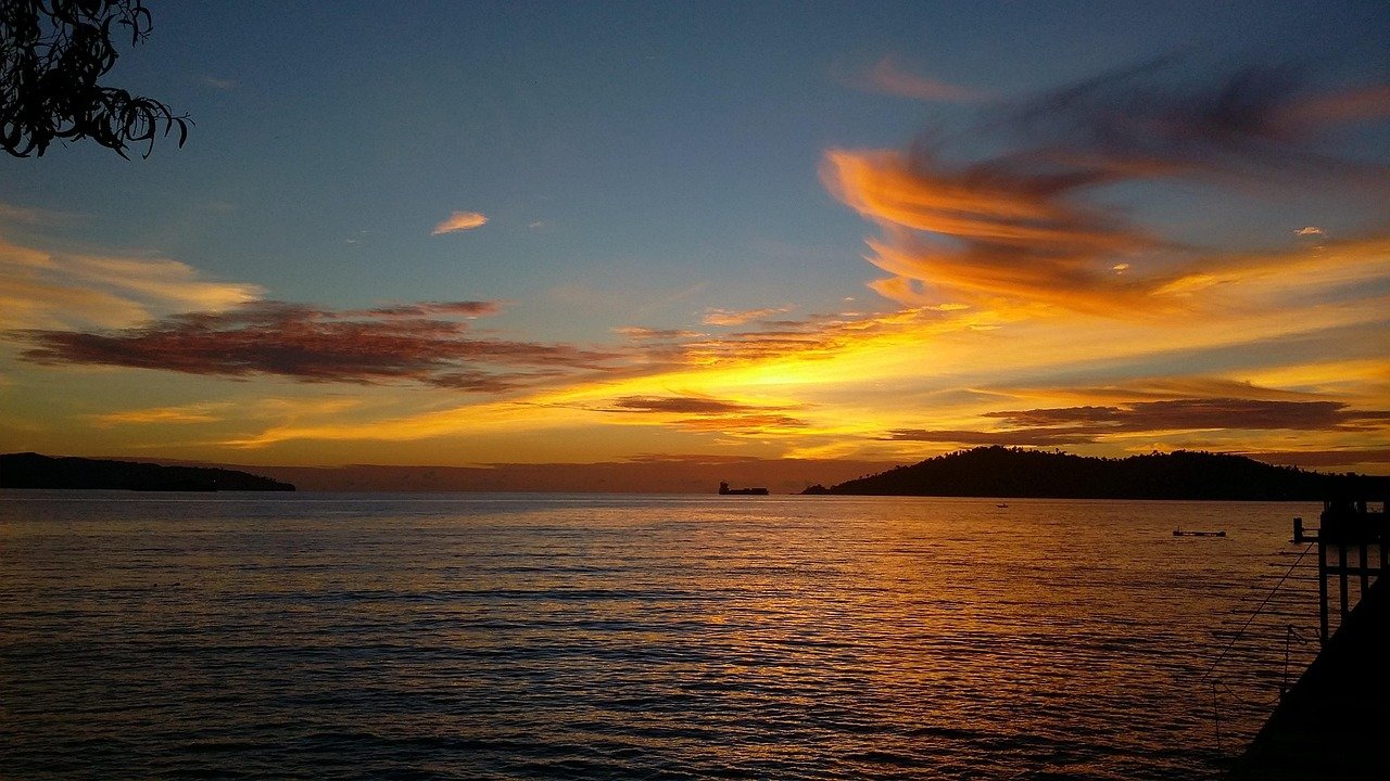
As the state capital, Kota Kinabalu is densely populated, serving as an important economic and political hub. Its greater city region covers the districts of Putatan and Penampang, totaling close to half a million population. The city is blessed with various unique features making it an important hub for tourism, commercial, industrial, and maritime. Tanjung Aru boasts one of the best sunset view spots in the world. The nearby Tunku Abdul Rahman Marine Park (TARMP) is world renown. Sapangar Bay with its calm water sheltered from offshore waves is an ideal spot for port and navigation activities.
The city however presently faces increasing pressure from water quality and environmental degradation due to pollutions, extensive landside development, tourism, and flooding. With the imminent sea level rise due to climate change, flooding risks in the city’s coastline will likely to exacerbate. There is presently a lack of coordinated and planning effort to tackle and mitigate future climate change effects.
Tourism activities presently concentrate in the city center and TARMP. It is crucial to reduce the tourism pressure and bring its spillover to tourism locations outside of the city. For example, Pulau Sepanggar is gaining popularity as another island-hopping destination to the north of the city. Tg. Lipat Beach in Likas and Kinarut Beach can be further elevated and refurbished as alternative sunset viewing and leisure destinations, in addition to the crowded Tg. Aru Beach.
A holistic scheme to protect and preserve the city sustainability is required, prioritizing nature-based solutions. It is essential to restore and expand natural assets such as mangroves, wetlands, coral reefs, seagrasses, and forests which are our barrier and mitigator against coastal natural hazards. The presence of natural vegetations also help in absorbing excess flood water as temporary storage.
Tuaran:
Karambunai, Pantai Dalit, and Sabandar are blessed with some of the best beaches in the country. The shoreline is presently covered with international and local hospitality players. It is recommended to establish an overall tourism scheme to better develop and preserve the natural features of the entire shoreline, which is the main attraction for tourists. Local tourism products showcasing the rich culture in Tuaran/Kota Belud district should be developed to enhance the overall tourism experiences and values.
There is presently severe erosion along the northern part of Sabandar Beach near to Sg. Tuaran which pose risks to the settlement and infrastructures. Instead of ad-hoc protection structures, a holistic protection scheme comprising hard and soft solutions will be required for the entire coastal cell stretching from Sulaman Peninsula to Tg. Dalit. Such solutions can be designed smartly to offer recreational and environmental preservation functions bringing additional benefits. Sand mining along Sg. Tuaran shall be controlled and sustainable to preserve the supply of sediment to stabilize the eroding beach.
Kota Belud to Simpang Mengayau:
From Sulaman to Simpang Mengayau, the shoreline is pristine with little developments to date. The shoreline is blessed with scenic landscapes such as sandy beach, seagrass, mangroves, stunning headlands, and islands. Scatter agricultural and aquacultural activities are found along the shoreline.
With the soon-to-be-completed Pan Borneo Highway, vast track of coastal lands will be opened for development. It is essential to control and manage these developments to avoid disrupting and destroying the natural assets. In this case, the Sabah Shoreline Management Plan (SMP) developed by the state government via the Environmental Protection Department (EPD) Sabah is a key development document for us to adhere to. With its fragile ecosystem, small to medium scale developments shall be prioritized along the shoreline. Forest and habitat clearing shall be prohibited or limited to the minimum.
The scenic landscapes offer opportunities for further eco-tourism involving local communities. One particular successful eco-tourism player in this area is Bigfin Diver Resort in Kota Belud.
Simpang Mengayau possesses huge potential to be developed into world class tourism location. With its stunning view and wide beaches, multiple tourism products can be offered in an integrated manner. This will require investments in better road connectivity, commercial buildings, lodging amenities, and human capital development.
Way Forward:
West Coast of Sabah is blessed with stunning natural features which to date has positioned the state as one of the top tourist destinations in the region. It is anticipated that tourism will continue to grow in the coming years benefiting local economic growth. It is essential that tourism activities to be expanded beyond Kota Kinabalu city to the other areas. This would require substantial infrastructure and transportation investments. At the heart of the development, environmental preservation shall be prioritized.
SOGIP, Sapangar Bay, and KKIP are the key hubs of industrial activities in the region. Apart from oil and gas, there are plenty of other opportunities to be tapped into, further attracting investments – particularly in deriving value-added downstream developments based on the state’s resources.
Aquaculture activities along the west coast are mostly small in scale, with exception to a few large industry players. Offshore farming can be considered and explored to scale up production to meet not just local demands but also for export.
Any coastal development along the shoreline shall adhere to the guidelines prescribed by local authorities and agencies. For instance, permanent structures shall not be built within a minimum 60 m setback to the water line to avoid being affected by coastal storm surge and erosion. In highly exposed and mobile coastal areas, the buffer distance should be extended. Such controlling measures will protect the development from unwanted risks and damages during severe climatic events. Any new developments shall be equipped with proper sanitary and waste management systems to avoid pollutions to the surrounding environment.
Above all, developing successful Blue Economy programs require a shift in mindset by considering and balancing economic development, environmental preservation, and socio progress. This can be achieved through strategic stakeholder collaboration, sound technical studies, and effective implementation of projects by all involved parties.
Blue Economy Mapping:
The founder of CoastAdv has contributed to various coastal studies and projects in Sabah, Sarawak, and across Malaysia. These experiences resulted in good understanding on the shoreline conditions, challenges, and economic potentials which enable us to advise our stakeholders on various Blue Economy opportunities and their feasibilities.